Mount Teide is a volcano in Tenerife, the largest of the Canary Islands, Spain. Its 3,718m summit is the highest point in Spain and the highest point above sea level in the Islands of the Atlantic.
While you cannot actually reach those heights by car or bike, you can cycle past 2,000m up! 2,300m to be exact. This, along with consistently perfect weather, makes it cycling heaven and provides the perfect training ground for pro cyclists and enthusiasts like myself. Bradley Wiggins and Chris Froome are just two of the pro cyclists known to have prepared for the Tour De France here.
There are many routes up Teide but I used the Los Cristianos-Teide route. This starts from sea level on the south side of the island and goes for 32.7km all the way up Teide to 2,300m altitude. This particular route is classed as an HC (Hors Categorie) climb. Hors Categorie means ‘beyond categorisation’! Even the pros treat it with respect.
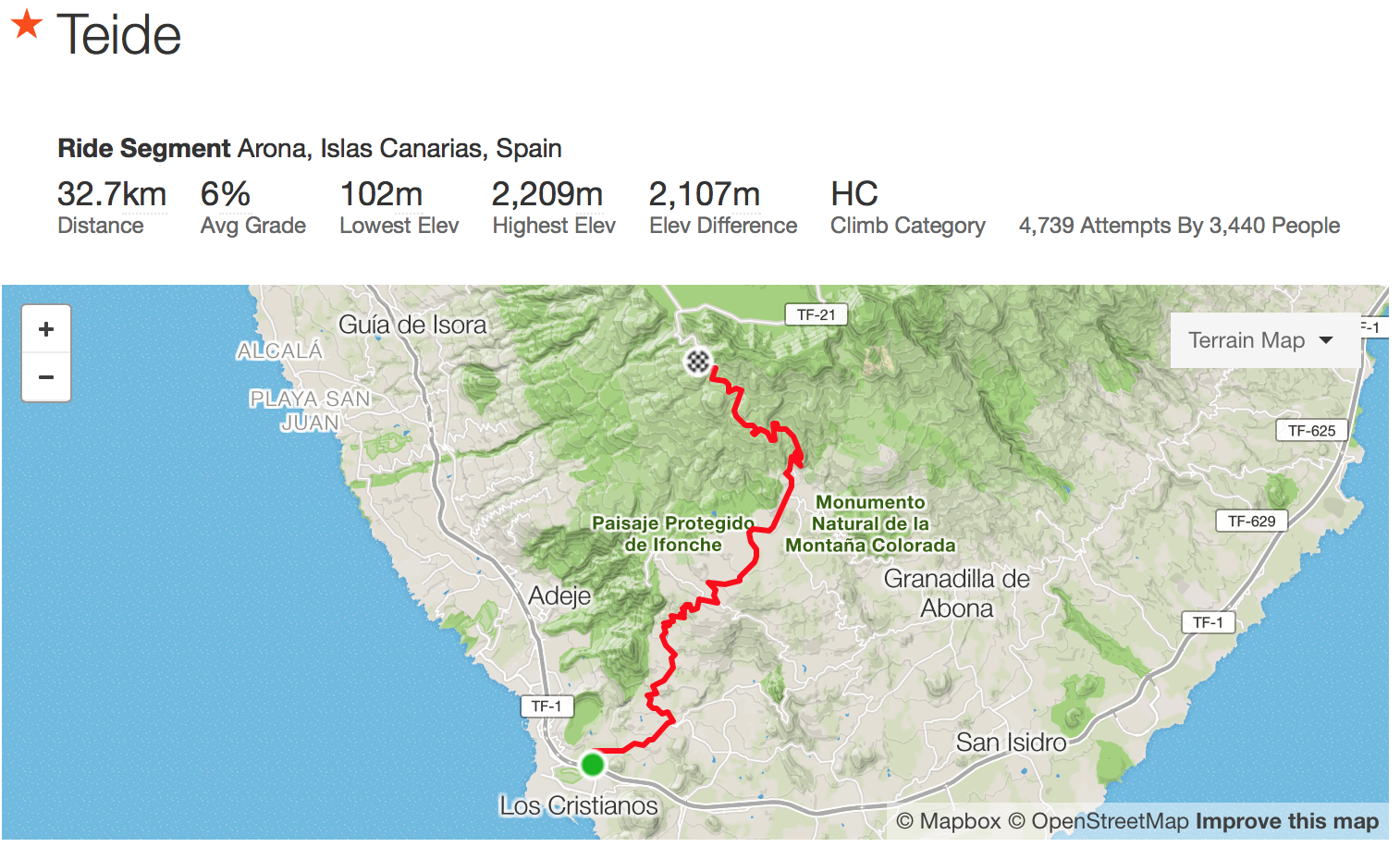
Mt Teide Strava segment
Why on earth would any sane person attempt to climb this mountain? On a bicycle?
Well, I had two reasons. The first reason was to conquer my dislike of climbing. I hate cycling when the road goes up. The second reason was that I, along with some equally foolish friends, had signed up to ride a stage of the 2017 Tour De France. Not just any stage either, we were riding the ‘Queen’ or hardest stage of the Tour in July as part of the Etape du Tour. We will encounter similar terrain in July and this was part of the preparation for that.
So tickets and hotels were booked and off I went late in february. There is a large selection of flights from many airlines offering very affordable flights to Tenerife (TFS) from London Gatwick and a few other airports in England. I decided to base myself in Costa Adeje as that was just a half hour from Tenerife-TFS airport and less than 5km away from the start of the climb. Costa Adeje is on the south coast and there are many excellent affordable hotels, bars and restaurants along the coastal strip. Add to this the numerous bicycle rental and repair businesses in the area making this area my first choice.
I arrived on a friday afternoon and spent the afternoon unpacking and assembling the bike. I discovered I had lost a skewer spring and one of the bolts for my handlebar stem clamp. Luckily there was a friendly bike rental shop 900m from my hotel and they duly supplied replacements. Disaster averted.
The Ascent.
Woke up on Saturday at 6:30am, dressed and had breakfast (I swear, Spanish porridge seems to have an extra kick in it) and set off as soon as the sun rose.
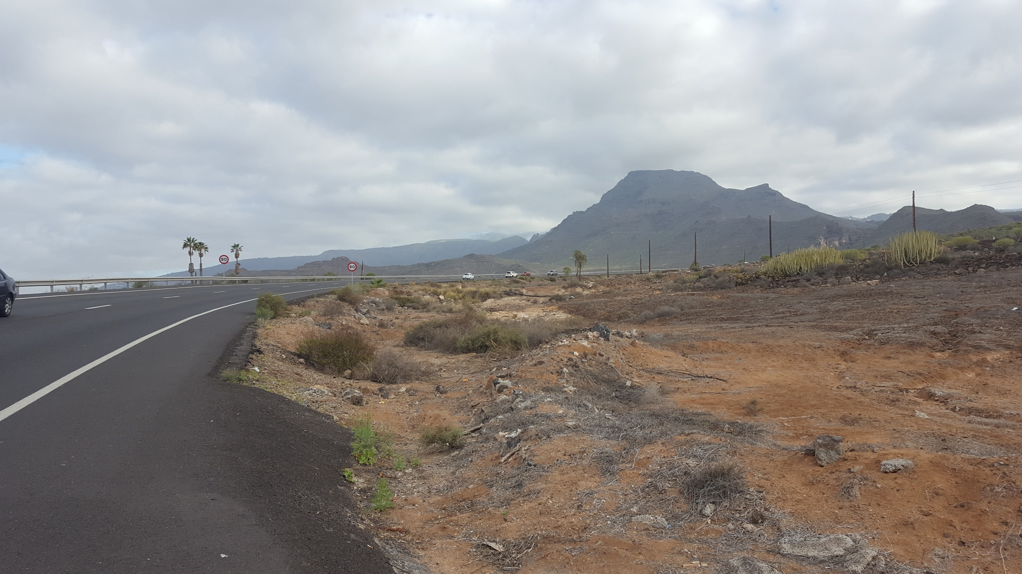
Start of the climb
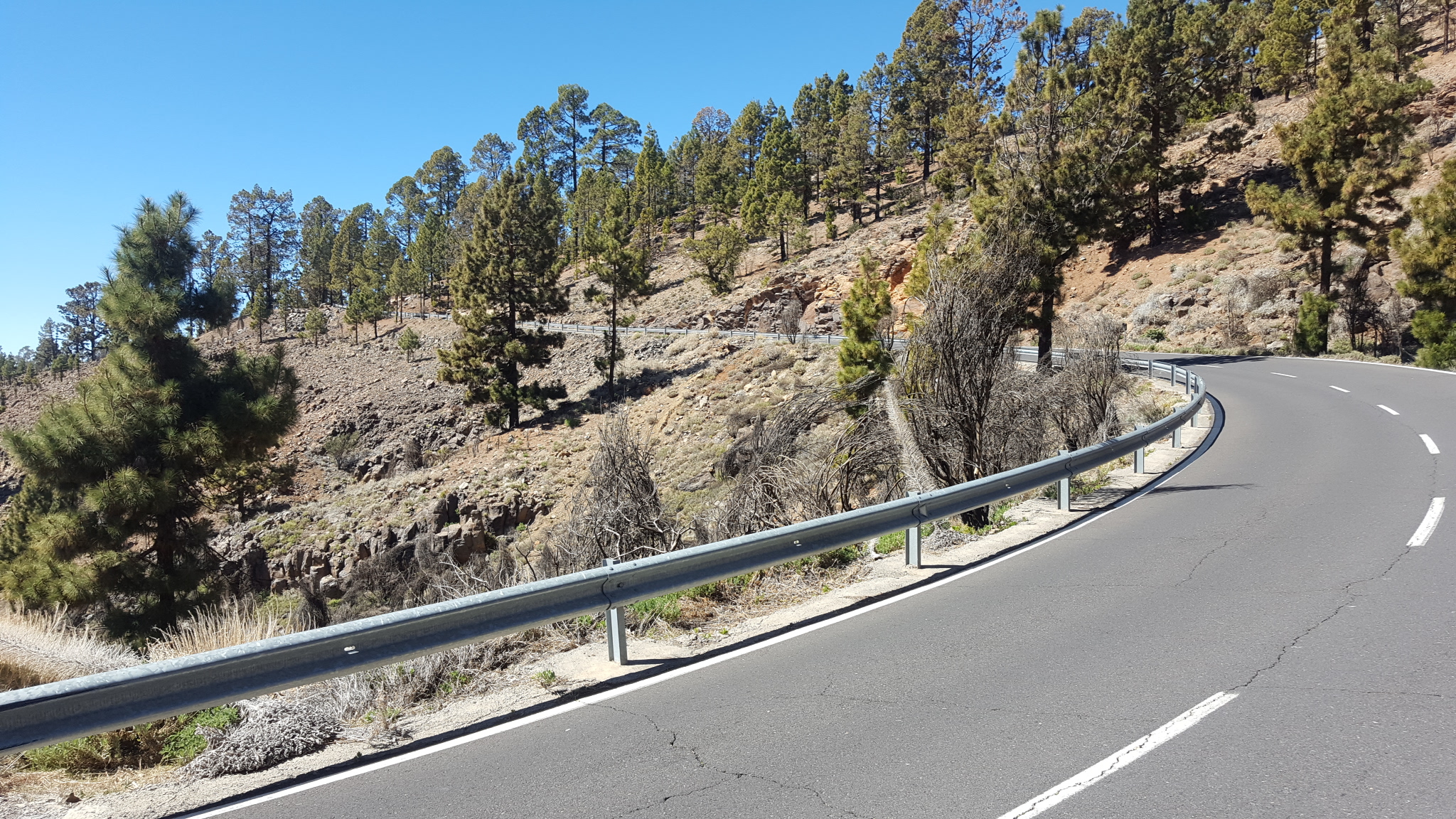
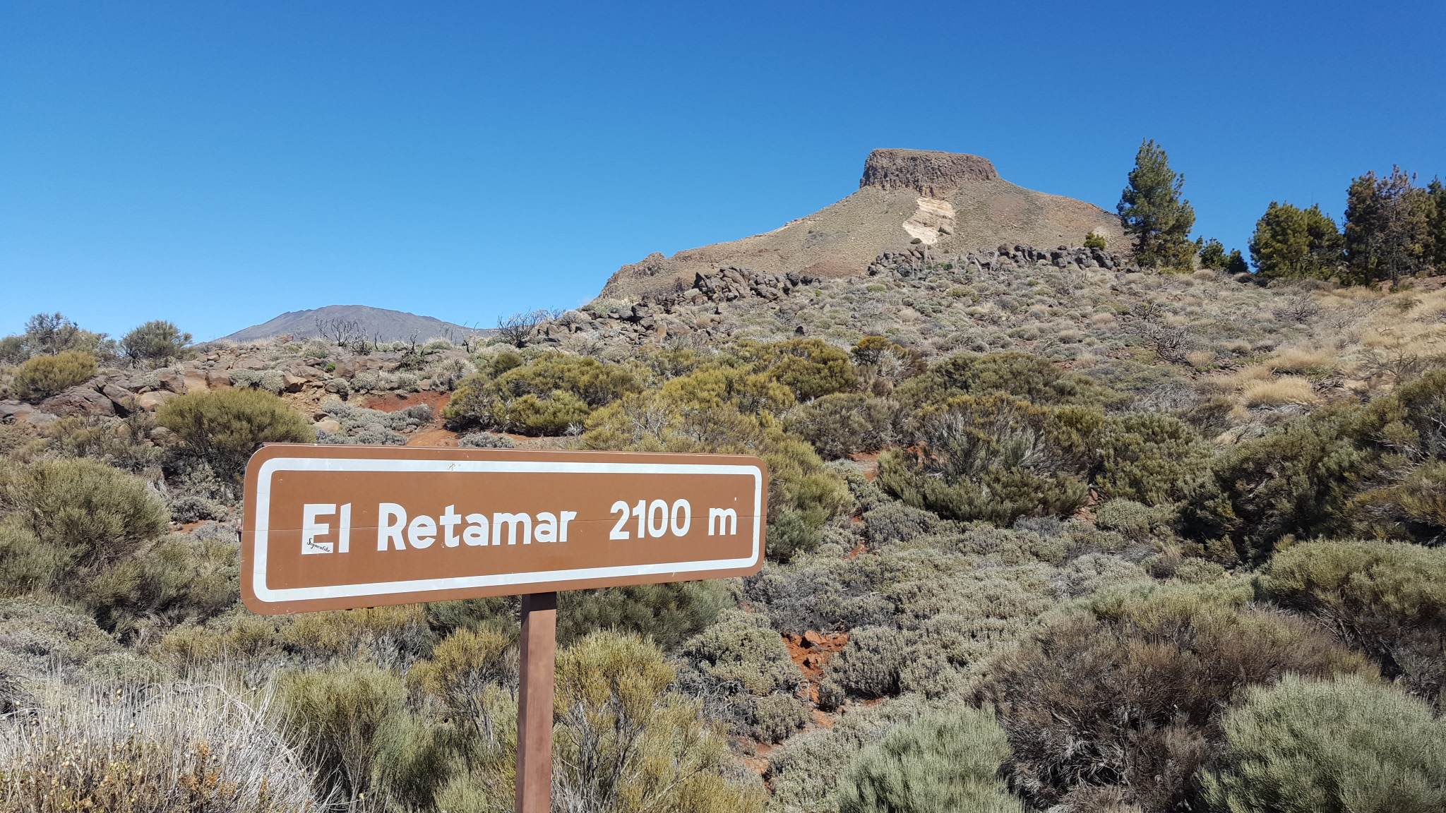
700m later, the road kicks up, and that is the last flat piece of tarmac I’ll encounter for the next 4 and a bit hours as the route is up and down for the next few kms. At 5kms the road goes up and does not go down for the next 30 odd kilometres. I passed through the beautiful areas of La Camella and the Valle San Lorenzo. I was still feeling good at this point. 10km’s in I stopped briefly to take photos and send a whatsapp message to my cycling forum buddies. I pressed on. Some sections were much steeper than others and I suddenly realised why the average gradient for the whole distance was 6%. At 20km’s and nearly 1,000m up I arrived at the amazing Centinela lookout point which offers great views of the south side of the island and Centinela mountain.
Centinela Lookout
I stop here to rest and refuel. The cafe is run by a friendly South American couple and what is that I see in the freezer? Ice! I did not even ask before I stuffed my water bottle with ice. It was a hot day with temperatures hovering around the 27 C mark and you feel every one of those degrees on a ride like this.
I press on, luckily the route becomes slightly more gentle for the next 10kms. The route goes through the towns of San Miguel and Charco del Pino before reaching the town of Granadilla. Once there I turned left to take the TF-21 towards Vilaflor. This stretch between both towns is one of the hardest, with an average gradient of 6% and a maximum gradient of 16%! Vilaflor is one of Spain’s highest towns at an altitude of 1,380m. There is another cafe here which is very popular with cyclists as cyclists are well looked after here. You can refuel and replenish ones stock of energy bars, gels and electrolyte tablets.
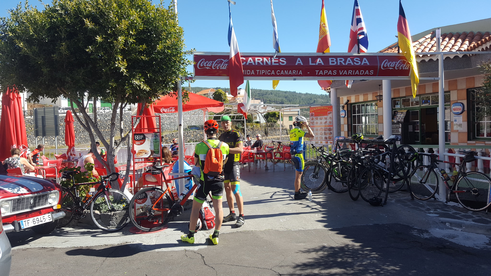
Cyclists’ cafe in the town of Vilaflor at 1,380m
After 15 minutes rest I continue, the route is relentless, the gradient unforgiving, it is the sheer continuous length of the climb that makes it an HC climb. The views though, distracted me from the suffering at times, and there were a few sections between 5-6% gradient where one could recover a tiny bit. I mentally celebrated each time I saw a gradient less than 6% indicated on my Garmin. This is where I first noticed some pros training. Boy are they fast! Inhuman in fact. I spotted one in Cannonade-Drapac kit and another in Orica-Scott kit. Both flew past like I was standing still doing at least 24kph. Just think about that for a second. 24kph up a 10% incline? These guys are not mere mortals.
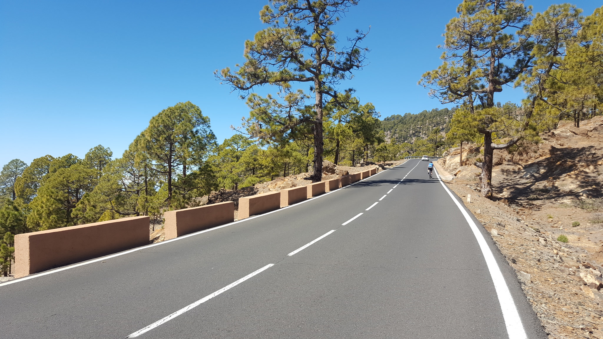
Towards the top
So I carry on, pedal a bit, breathe, eat, drink, check the Garmin, pedal some more, breathe, eat, drink, check the Garmin, and on and on it went. I was beginning to regret not having a compact chainset. Despite having a 32-tooth cassette, I could not ‘spin’ up the climb, I was ‘grinding’ big time. It was now all about survival, I hadn’t come all this way to fail. One game I played at this point was ‘how many more ascents of Boxhill do I have left’? The popular Boxhill climb in Surrey is a favourite amongst cyclists. The total ascent is about 125m, which meant that the 750 odd meters I had left equated to 6 ascents of Boxhill. So the countdown began, ‘6 Boxhills’ to go, ‘5 Boxhills’ to go…
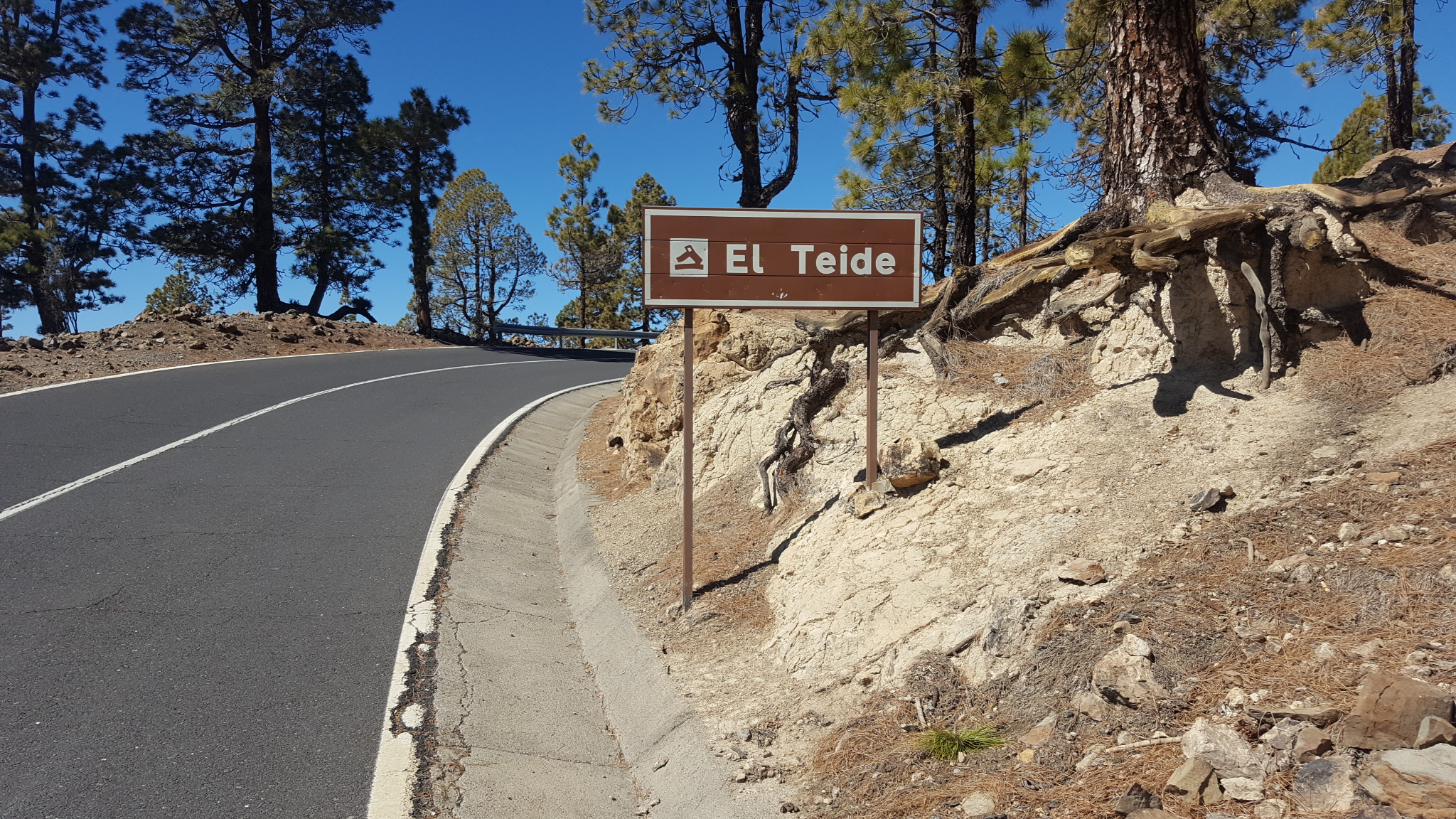
Nearly there
At ‘one more Boxhill’ to go I suddenly got a burst of energy and and a sharper focus. I could really take in the vista and and the magnificence of my surroundings. A convoy of dune buggies were going down the mountain while a group of motorcyclists blasted past me, the blare of their sports exhausts reverberating off the rocky mountain side. Mt Teide, it turns out, is a playground for the endurance athlete and the adrenaline junkie.
Made it!
I made it! I still cannot believe I made it to the top. The feeling of accomplishment, that feeling you get when you set an almost impossible goal and achieve that goal, not to mention the relief that the suffering was over, was almost overwhelming. Two weeks after the ride, as I write this, that sense of accomplishment and pride is still there.
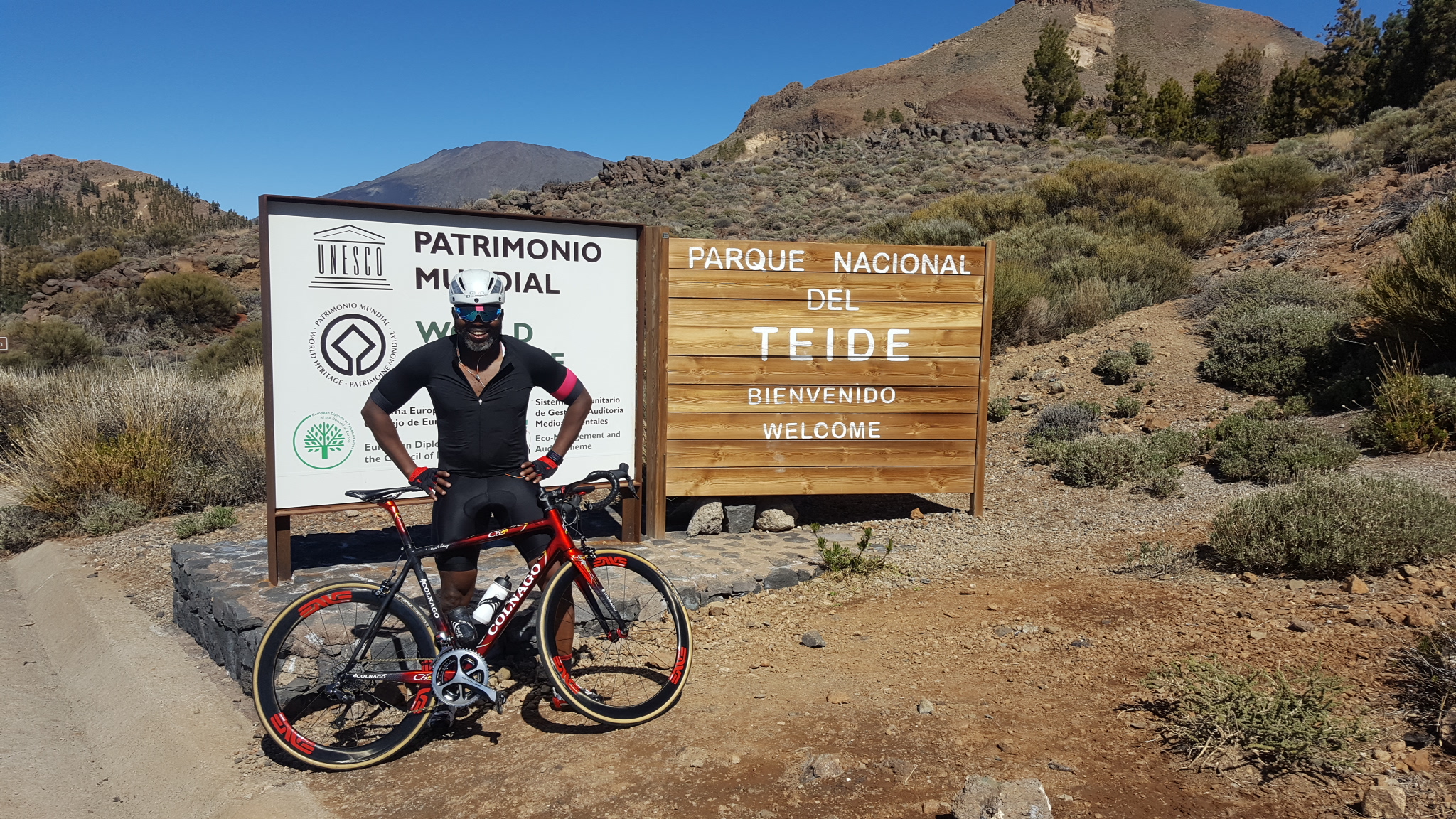
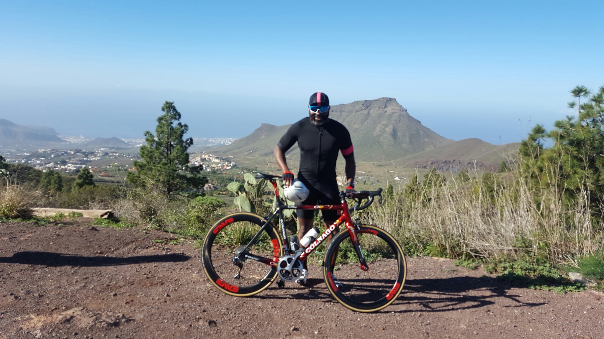
I conquered Mt Teide
Riding up Mt Teide is easily the hardest and one of the best things I’ve ever done. The views, the humbling terrain and the sheer physicality of it all made it an unforgettable experience. I cannot recommended it highly enough.
Mt Teide
The Descent.
The fun part. I spent about 30mins at the top chatting to some other cyclists, whom I soon discovered, had also flown over from the UK. As we prepared to descend, I noticed them putting on arm warmers and gilets. Hmmmmm. I soon discovered why. Plunging down the mountain, through the clouds at over 65kph from that altitude is COLD! I soon forgot about the cold though, as we flew down the twists and technical turns of the mountain, the adrenaline coursing through my body very quickly warmed me up. Down we went, picking our lines carefully, looking up the road, braking in a straight line, putting your weight on the outside pedal to take corners as fast as we dared. I remember one particular corner, I was going round a sweeping right hander at around 50-60 kph, leaning as far as I dared, when a motorbike (a Ducati 899) with its rider hanging off it, knee down, motogp-style, passed me on the outside. Fantastic! A definite adrenaline rush but not one for the faint of heart. There is a degree of skill, confidence and bravery required to descend down that mountain at speed with motorbikes and cars around you. I was actually sorry to get to the bottom of the mountain as I enjoyed that descent more than any roller coaster I’ve ever ridden.
I cannot wait to go back.

Recent Comments